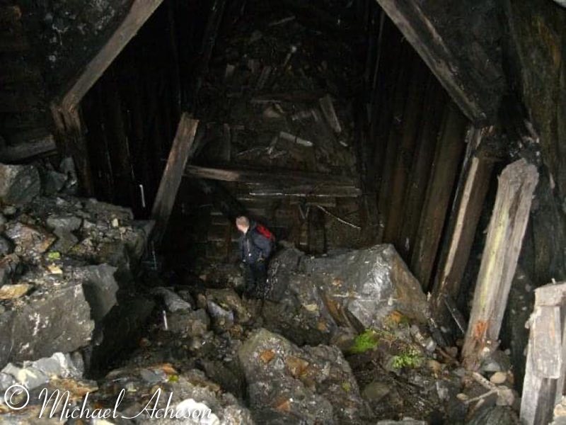
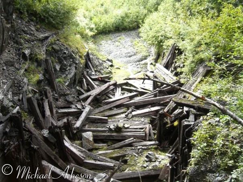
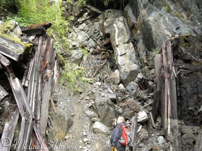
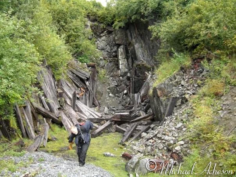
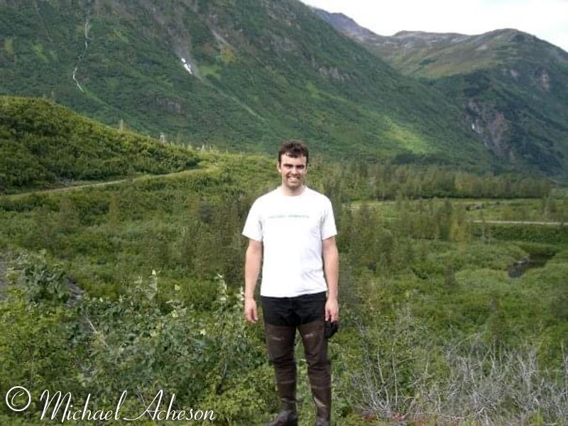
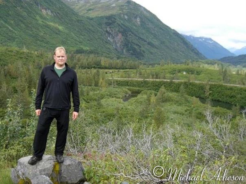
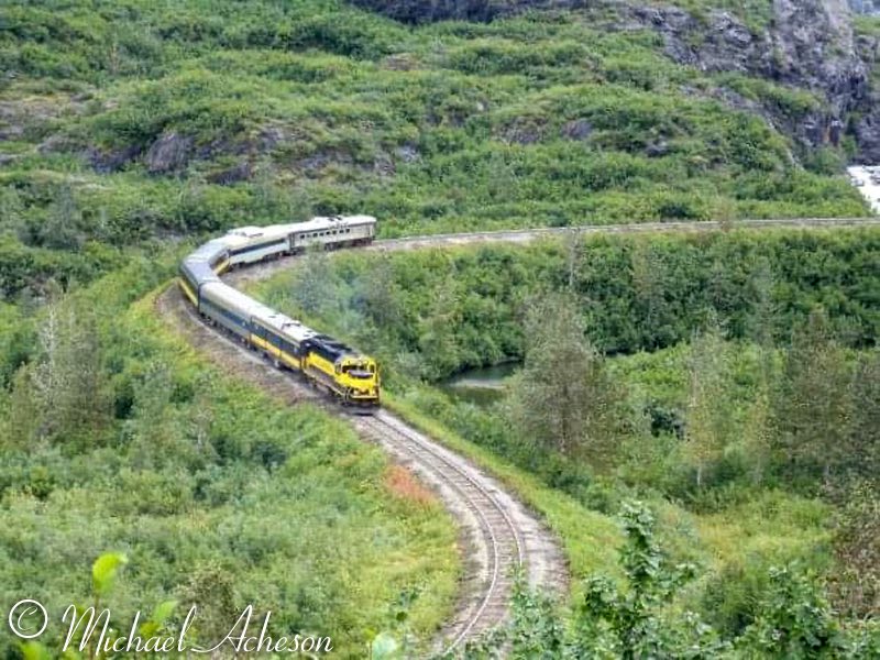
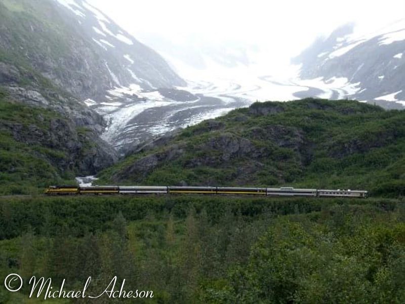
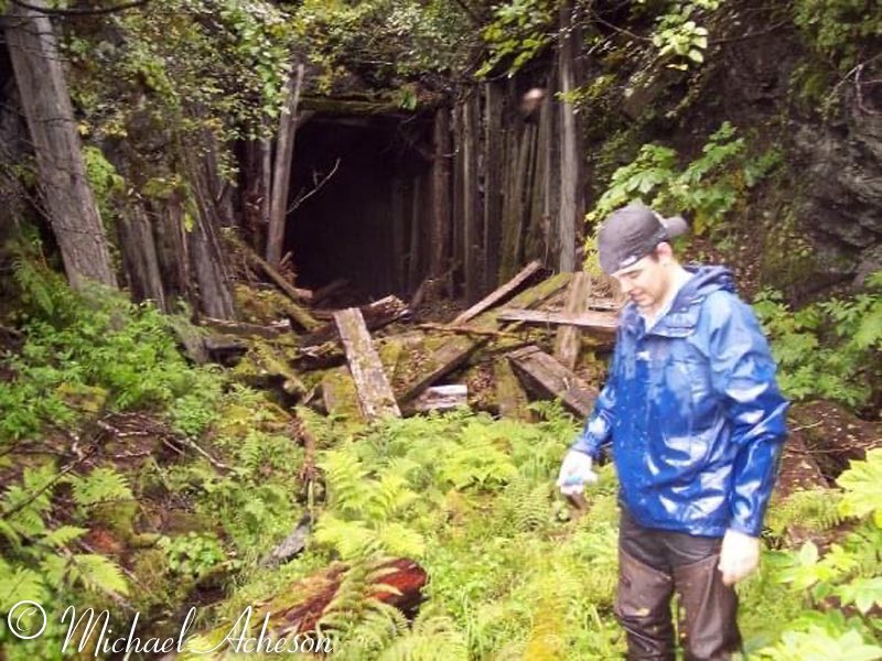
The Loop District of the Alaska Railroad is a steep section of grade between MP 47 and and MP 51 on the Seward Subdivision, but at one time there were two loops with a tunnel, snow shed and several large trestles. The original "Loop District" was built by the Alaska Central Railway between 1905 and 1907 in order to have a grade that the steam locomotives could negotiate through a steep Kenai Mountain valley. While there isn't real concrete answers on when construction started, we can say staging and first part of construction started probably later in 1905 with construction all through 1906 with completion with traffic by 1907. The Loop was roughly over a mile long with a hair pin loop on the south end, and a total loop on the north end near Tunnel Station. When the AEC took over the Alaska Northern Railway the Loop needed major repairs since both the Alaska Central and Northern Railways had financial problems and construction of the railroad to that point was sub par. By the end of WWII the Loop with it's five bridges, was costing the ARR considerably in yearly repairs. With Bartlett Glacier having receded since construction of the original alignment, a new route of filled grade instead of bridges could be built. From 1950 to 1951 as part of a total rebuilding of the Alaska Railroad from war time traffic, the new grade was built and the elimination of the old Loop District went into history with MP 49, ironically the new grade was steeper than the original route. After a few years it was determined that the bridges needed to be torn down as the liabilities were great, and the landmark structures were razed and burned. There are a few remnants today such as the concrete pilings in the Placer River, some bridge remains, overgrown grade, and the remains of the snow shed and tunnel. Railroaders on their off days mostly don't talk about railroading let alone go out and search for railroad remains, bust there are some that do just that. Mike Acheson and Danial Keim take some time to hunt down the remains that can be found of the Loop District. The photos were taken in the summer of 2010 with the vegetation in full swing. In photos 2 and 3 we see the north end of the tunnel, there was a curved bridge behind where the photos were taken. In photos 4 through 8 we see the collapsed tunnel entrance and where the snow shed was. For being abandoned since 1951 the tunnel has fared as well with no maintenance, though one day the tunnel will be completely collapsed. You can also see a large portion of the snow shed is now under rock. Photos 11 and 12 show the current day alignment. Note the Budd Can 711 on the Glacier Discovery used as a cab car, like the DMU 751. Thanks to Mike and Dan, more current photos of the Loop District exist showing that Alaska has many secrets hiding in the valleys and high on the sides of her mountains. - Mike Gerenday |
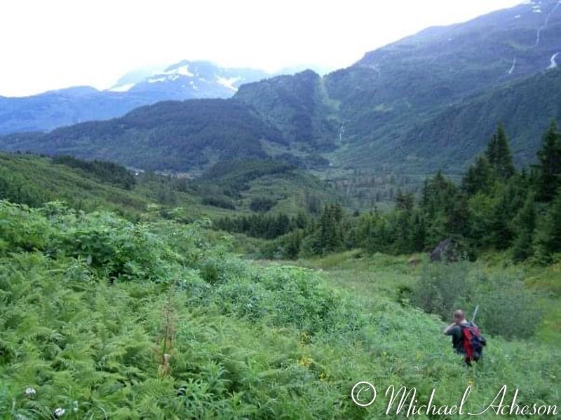 |
| 01. It's a fault line at my 11'. |
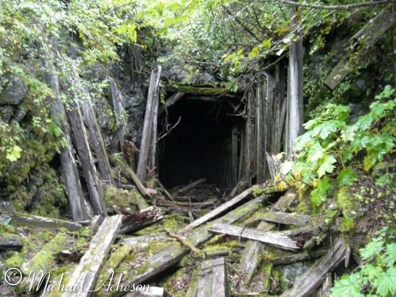 |
| 02. The north tunnel opening |
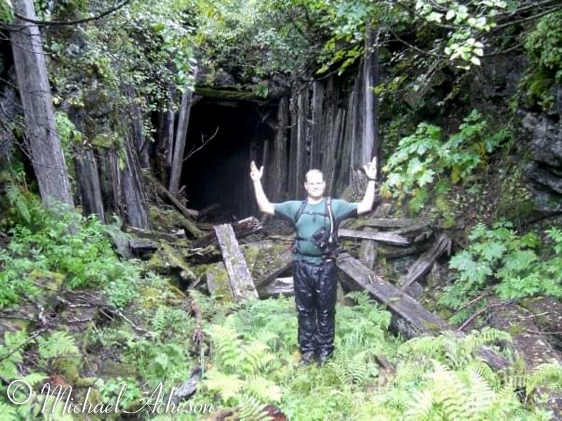 |
| 03. Eureka |
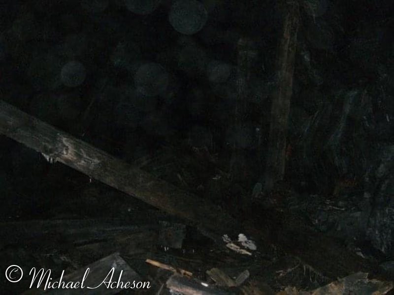 |
| 04. Inside was a wreck |
 |
| 05. The only intact track in the south tunnel entrance |
 |
| 06. The collapsed south end |
 |
| 07. Where the south doors to the tunnel were |
 |
| 08. |
 |
| 09. Partner in crime |
 |
| 10. |
 |
| 11. |
 |
| 12. |
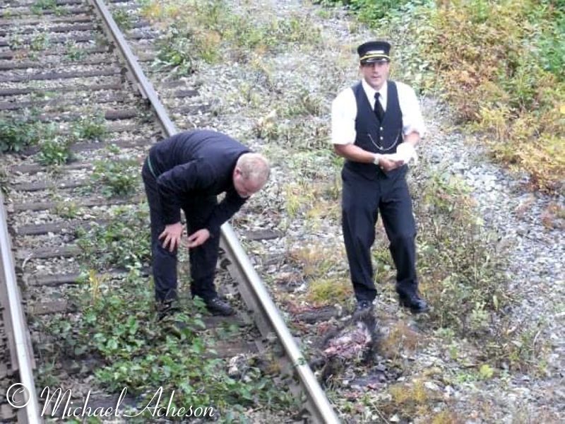 |
| 13. There's no help for this one. |
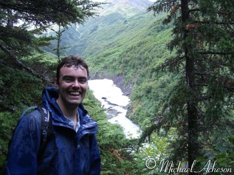 |
| 14. Smiley |
 |
| 15. |
Photos courtesy of Michael Acheson |
See also: |